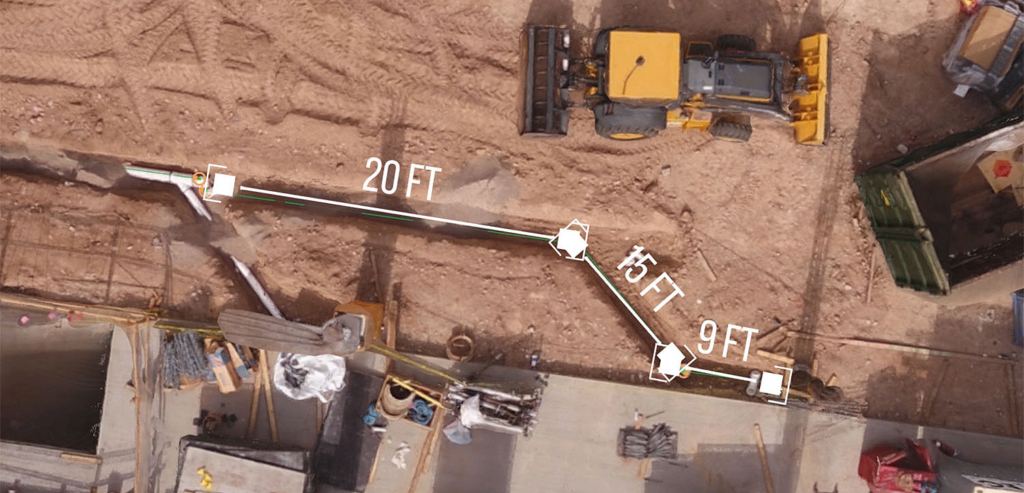
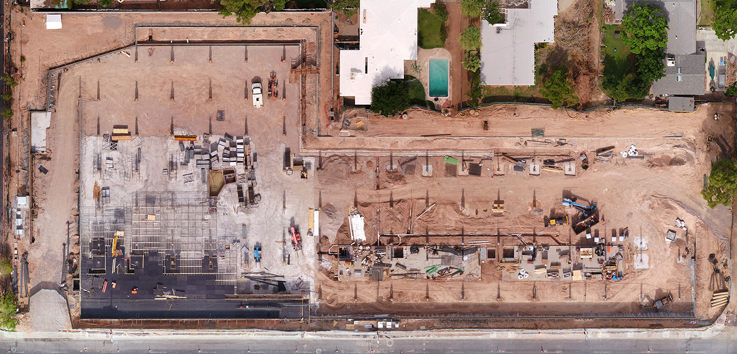
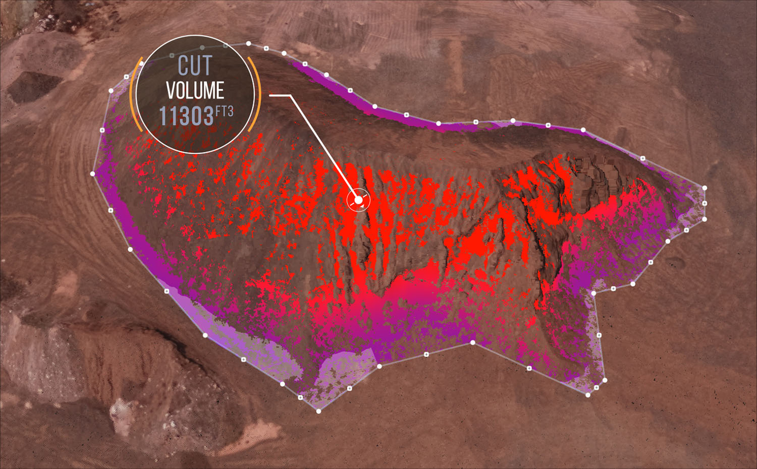
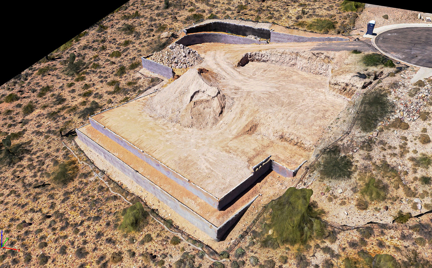
Photogramm…WHAT? Simply put, it is the science of making measurements from photos. We are able to extract three-dimensional data from photographs to create accurate and measurable 3D models and maps. Below are some of the solutions we offer leveraging photogrammetry.
Sula Aerials can only provide survey-grade land data with the cooperation of a licensed surveyor. Sula Aerials is not licensed to provide independent survey data.