FAA APPROVED
FAA part 107 Certification. Our pilots are certificated by the FAA to operate Unmanned Aerial Systems (UAS, Drones) in the National Airspace.

Insured
We don’t plan on using it, but you can hire us with peace of mind. We are fully insured for $1 million in general liability aviation insurance with options up to $10 million so we can cover all projects.
WE TAKE CARE OF IT
We take care of the paperwork to fly your projects so you don’t have to think about it: waivers, permits, FAA, local airspace and more.
Services

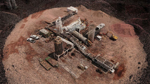
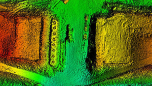
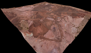
Take accurate linear and area measurements of your projects from the 3D point clouds we generate