Maps Used for Linear and Area Measurements
What Is an Orthomosaic Map?
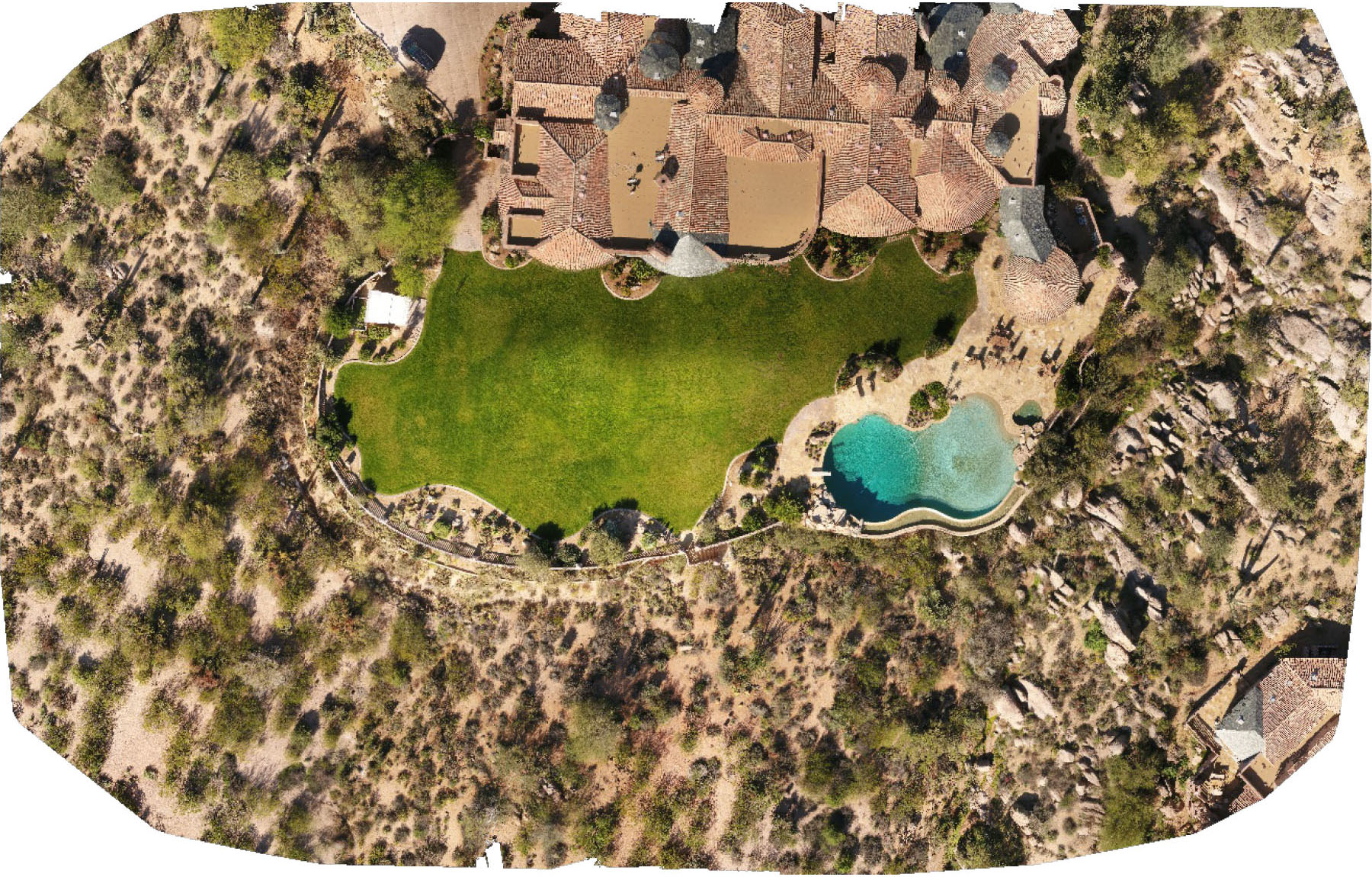
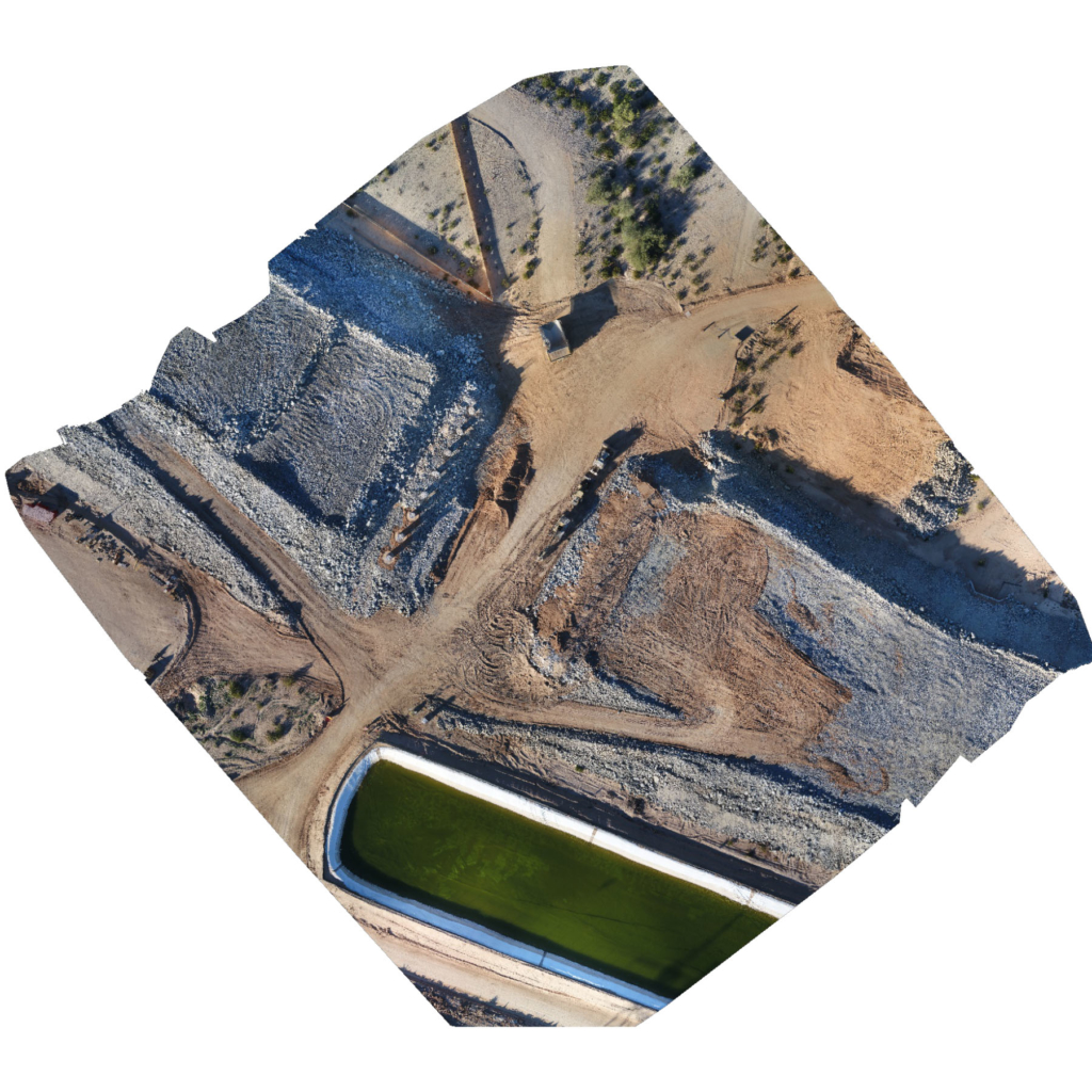
An orthomosaic map is a group of aerial photos stitched together, scaled, and geometrically corrected (orthorectified) for accuracy. Simply put, unlike an uncorrected aerial photograph, an orthophoto can be used to measure true distances because it is an accurate representation of the earth’s surface. It has been adjusted for topographic relief, lens distortion, and camera tilt. Orthomosaic maps have a much higher resolution and detail than satellite imagery due to the use of high-megapixel cameras.
We provide orthomosaic map deliverables in several ways:
- GeoTIFF – Import into your GIS or CAD software for distance, area measurements, and 2D visualization
- KML – Format best used with Google Earth
- HTML – View your map online with Google Maps
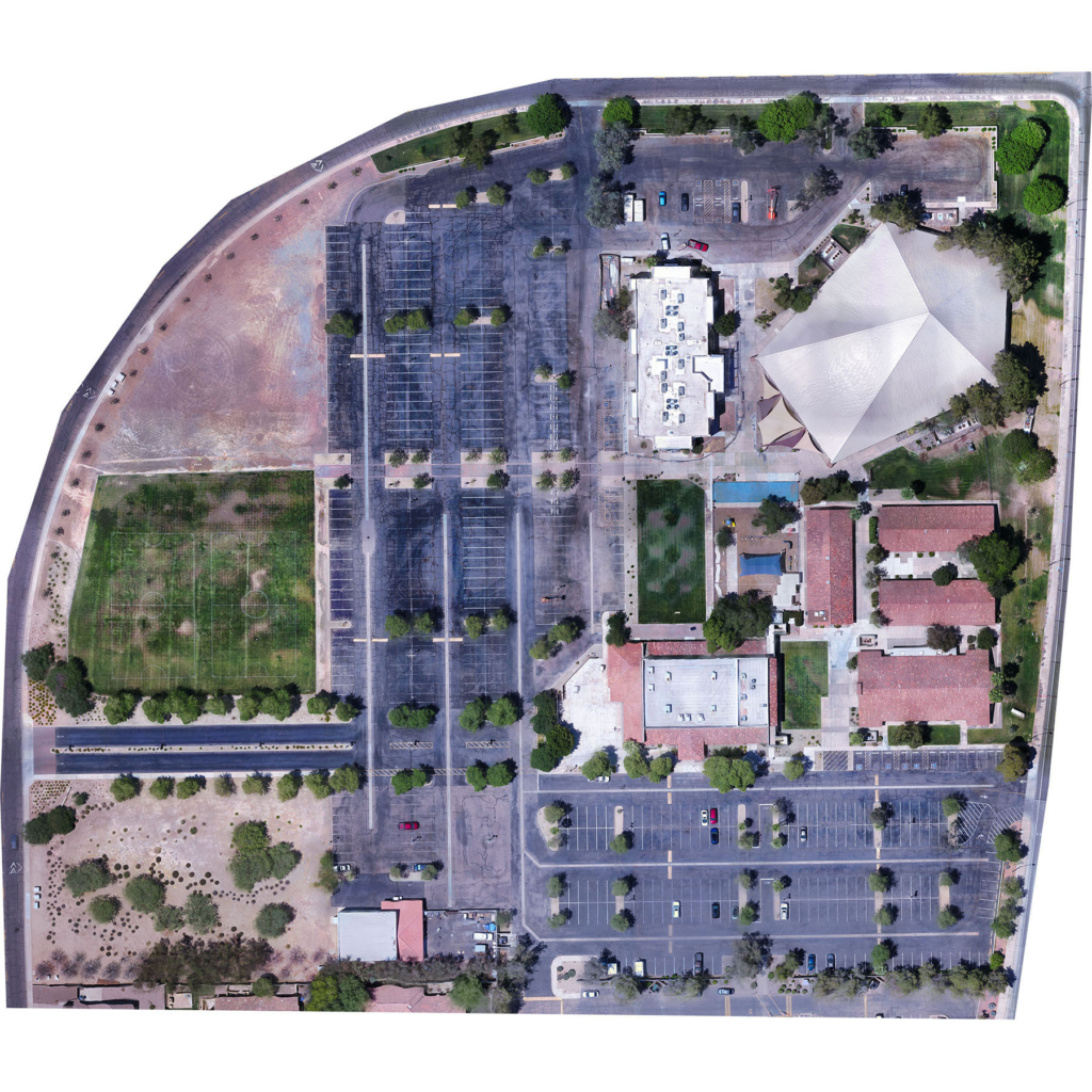
Church Property
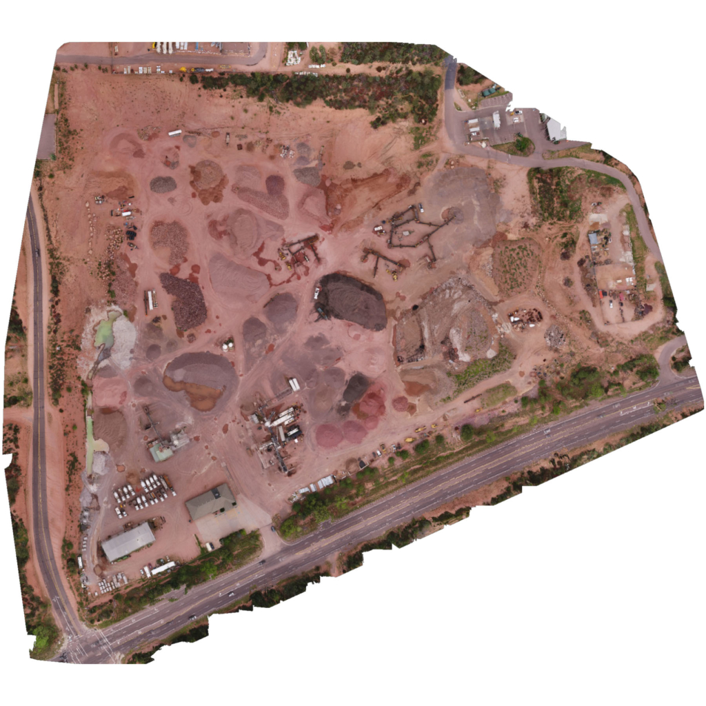
Concrete & Materials
Highway Overpass