Collection of real-word data points creating a 3D object or space
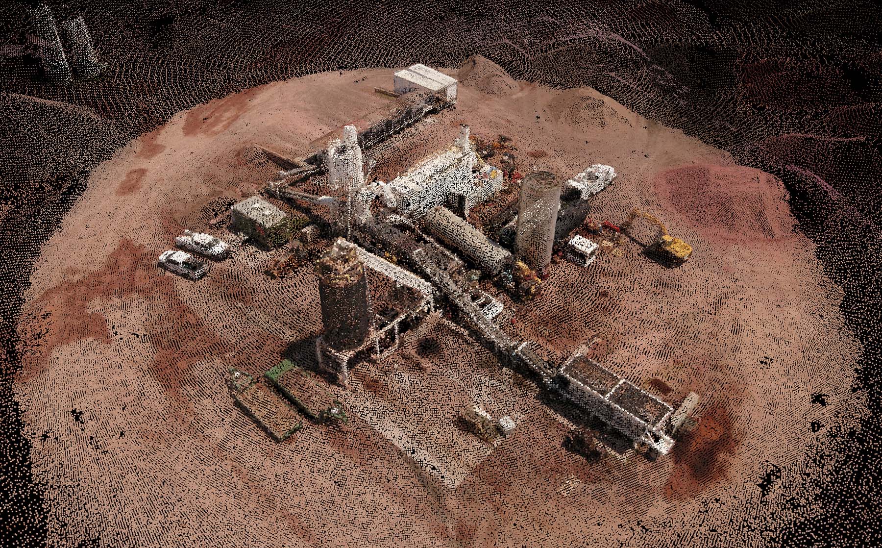
What is an 3D Point Cloud?
A point cloud is a collection data points created through photogrammetry from photos of real-world objects or places that can then be translated to a 3D mesh or CAD model.
Sula Aerials provides a easy to read, detailed PDF report of your project based your project data needs. We can generate distances, area, volume measurements and more!
Want top produce your own 3D Point Cloud data? Here are our file types we deliver in:
- .xyz – Used in AutoCAD software for Visualization
- .ply – Used for Visualization, Point cloud classification
- .las – Used for Visualization, Point cloud classification
- .laz – Great for Visualization
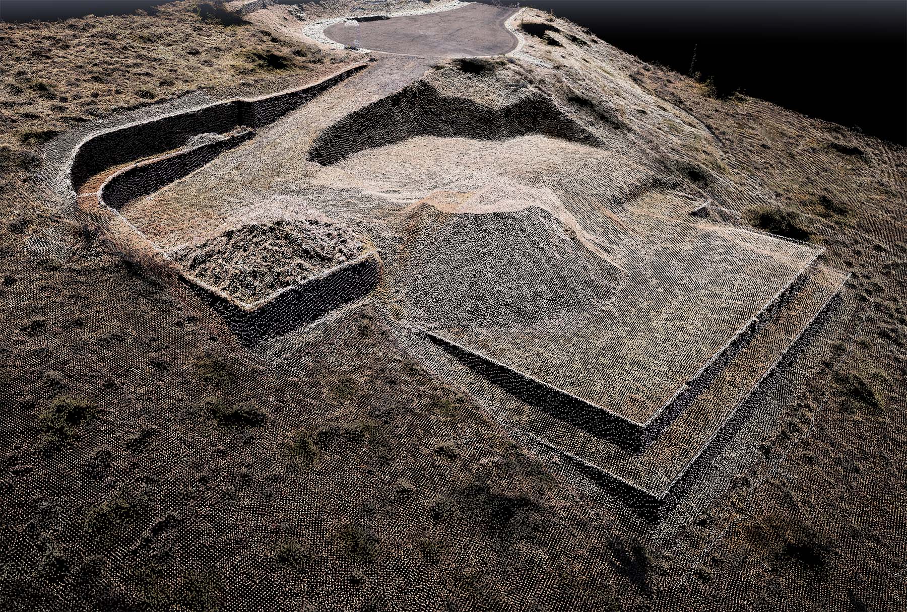
Residential Home Build
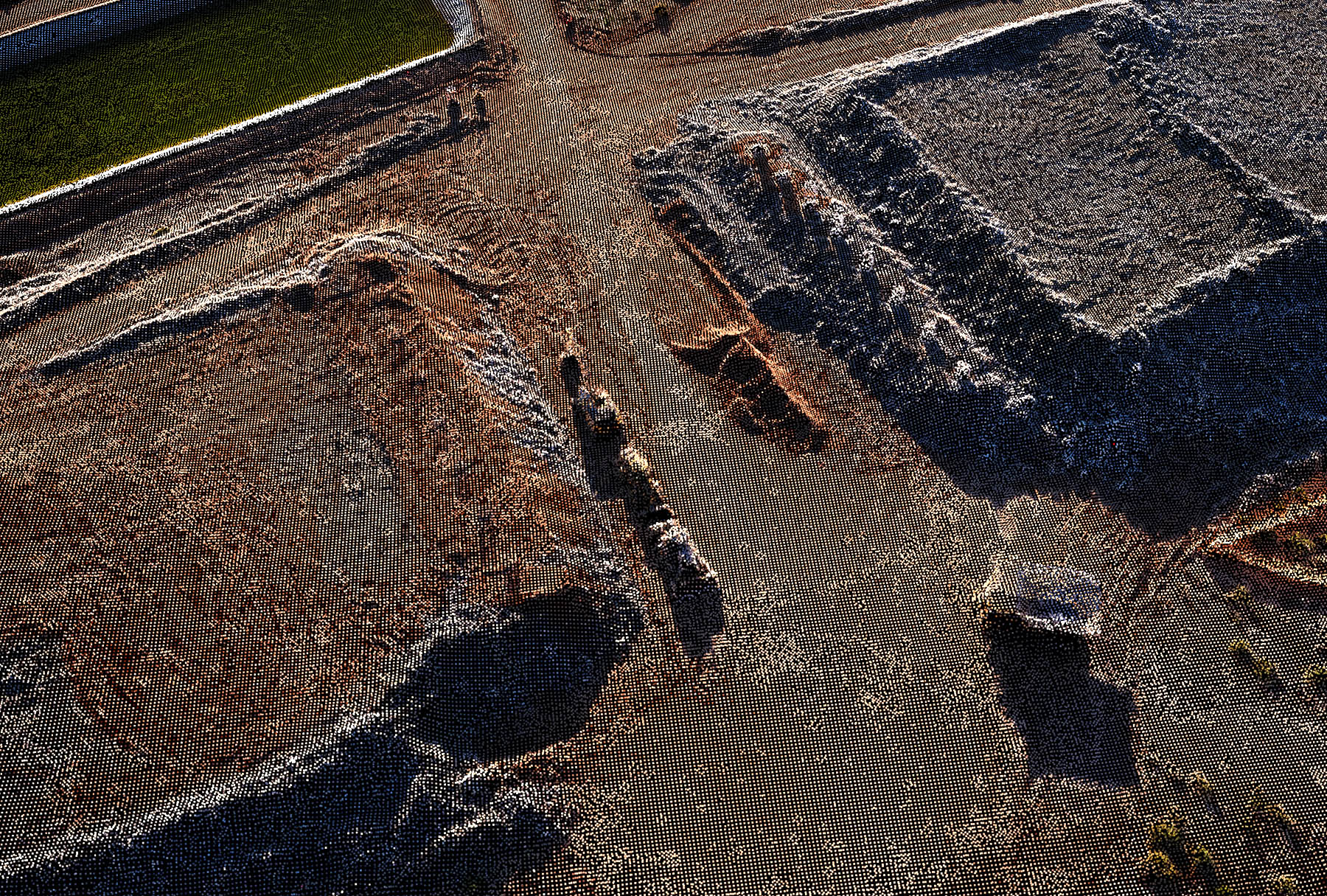
Highway Overpass New Construction
Sula Aerials can only provide survey-grade land data with the cooperation of a licensed surveyor. Sula Aerials is not licensed to provide independent survey data.