Elevation Map Used for Distance, Area and Volume Measurements
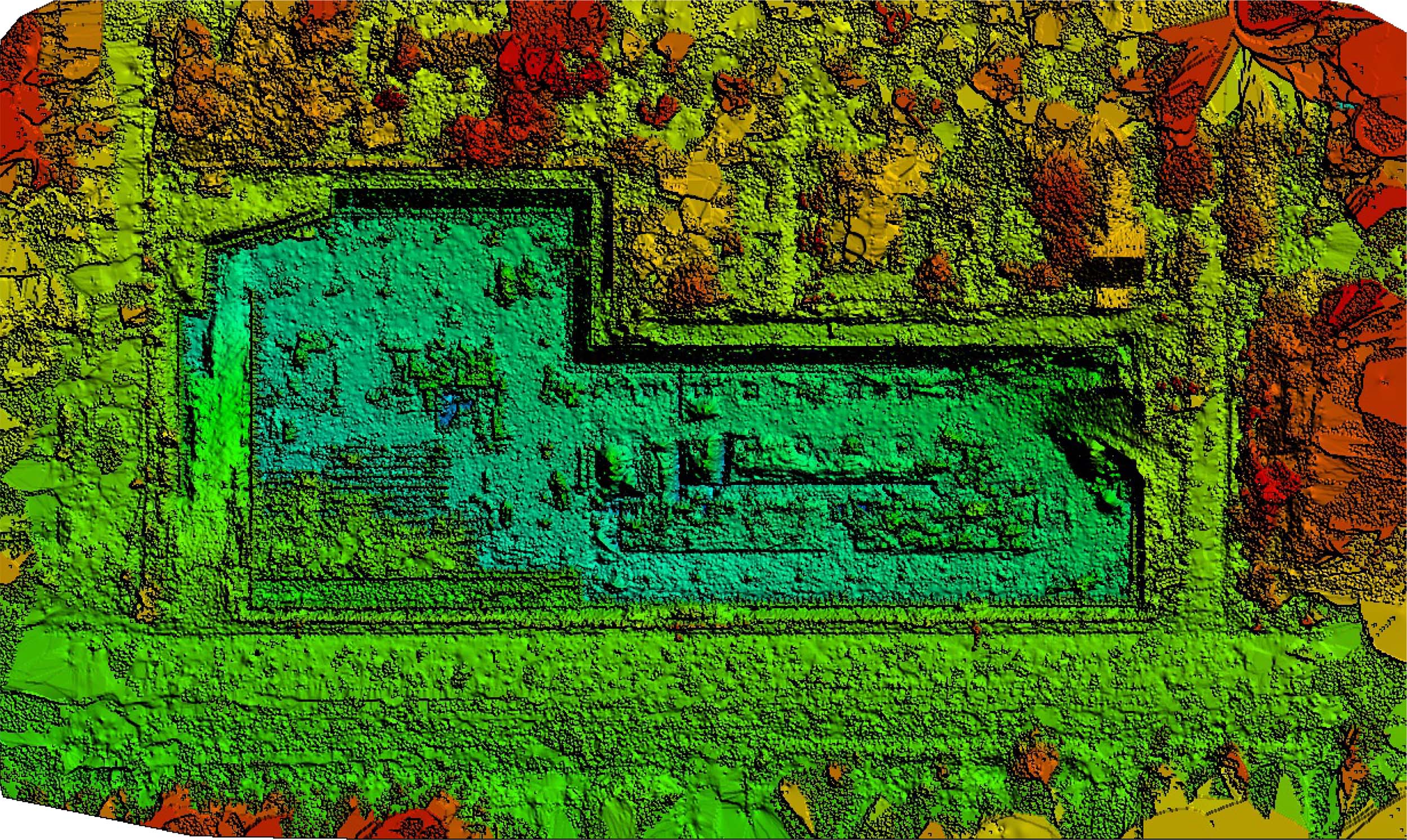
What Is a Digital Surface Model (DSM)?
Digital Surface Model (DSM) is an elevations map of the surfaces of vegetation, buildings, rocks, and other features. This terrain data is great for making topographic and elevation maps.
We provide digital surface model deliverables in several ways:
- GeoTIFF – Import into your GIS software for to generate contour lines, distance, area and volume measurements.
- .las – Great for visualization, point cloud classification, and DTM generation.
- .laz – Great for visualization and DTM generation.
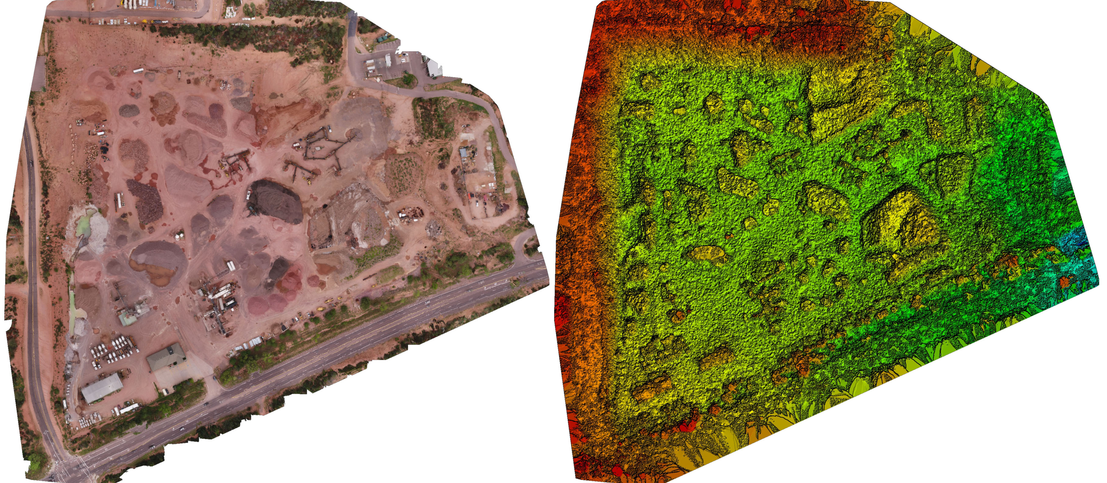
Concrete & Materials Yard
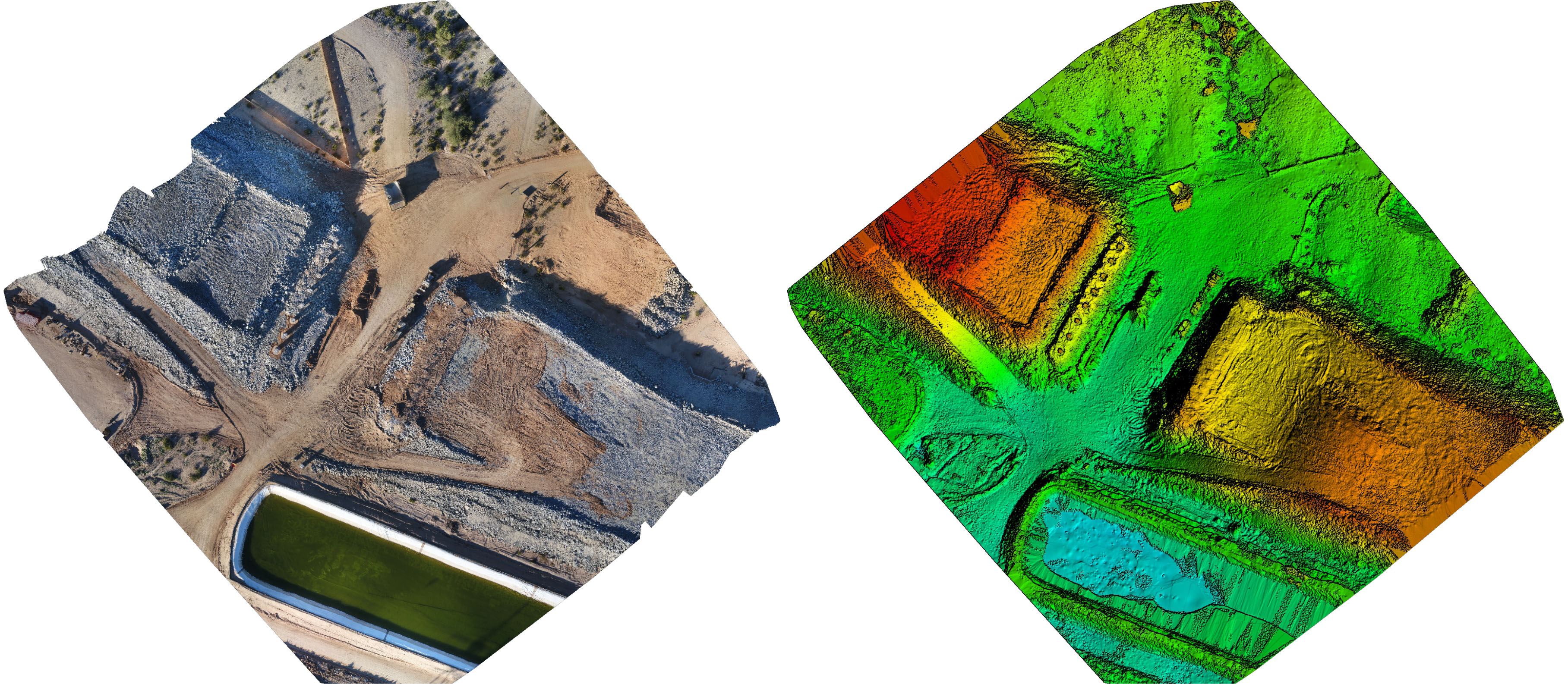
Highway Overpass New Construction
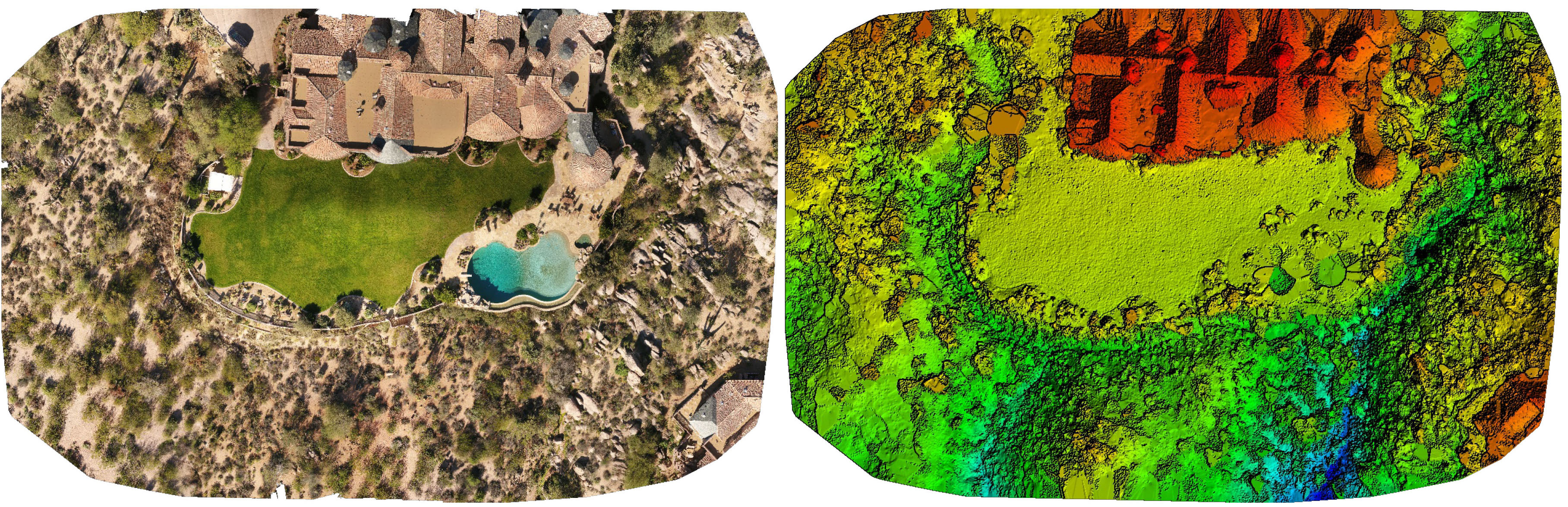
Residential Backyard with Desert Surroundings
Sula Aerials can only provide survey-grade land data with the cooperation of a licensed surveyor. Sula Aerials is not licensed to provide independent survey data.